Spatial Data Mining
Nowadays, huge volume of geo-referenced data has been available to geographers and other scientists. This data-rich environment is considerably different from the data-poor environment when Geographic Information System (GIS) originated. Furthermore, simple query and retrieval function of GIS can not satisfied with need of geographers and other scientists. On-Line Analytical Processing (OLAP) occurs to facilitate the decision-maker to gain insight from large treasury of data, instead of drowning in the sea of unmeaning data. We believe that OLAP and GIS should be integrated so that we can make the most of the geographic data.

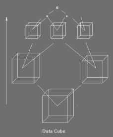
Data Cube
OLAP is widely employed in private business to analyze its own data. Quite different from this, much of geo-referenced data is obtained by government department. For this reason, public can assess this geo-referenced data almost free although the data is collected with very high cost. Therefore, web technology should also be integrated into this OLAP system in order to make as many scientists as possible to analyze this valuable data intensively.
Now we are constucting a prototype system targeting on facilitating users' access to GIS OLAP function online.
Please contact Mr. SHAN Yin for further informatin.


