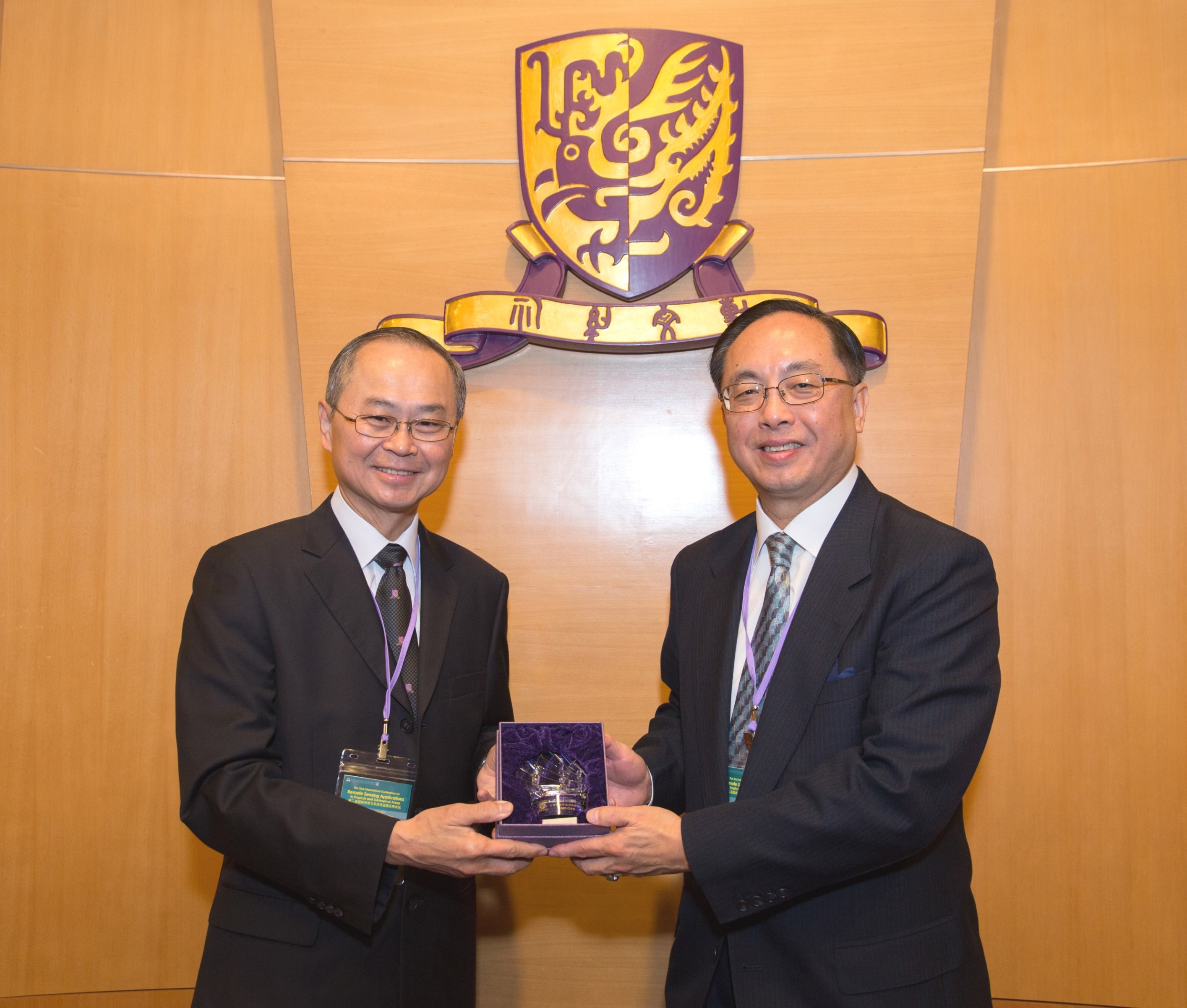
The Institute of Space and Earth Information Science (ISEIS) of The Chinese University of Hong Kong (CUHK) recently hosted the 2nd International Conference on Remote Sensing Applications in Tropical and Subtropical Areas. Officiating at the opening ceremony were Prof. Tai-fai Fok, Pro-Vice-Chancellor of CUHK, Prof. Guanhua Xu, former Minister at the Ministry of Science and Technology, and Mr. Nicholas W. Yang, Secretary for Innovation and Technology of the Hong Kong Special Administrative Region Government.
The tropical and subtropical region presents an all-year-round cloudy and rainy climate with a very long rainy season and rich precipitation, even in the short-term dry season. Natural disasters, such as typhoons, earthquakes, tsunamis and floods, occur frequently in this region because of its special meteorological environment. Therefore, multi-source remote sensing techniques, e.g. synthetic aperture radar (SAR), with their ability to work in all-day and all weather conditions, have distinctive advantages in this region. The International Conference aimed at providing facilitation and communication between experts from multidisciplinary domains so that they are able to discuss key issues about how to make full use of remote sensing technology to promote its comprehensive and effective applications in this region, with a focus on the developing world.
Prof. Tai-fai Fok, Pro-Vice-Chancellor of CUHK delivered a welcome address at the opening ceremony, introducing the history of ISEIS. Professor Fok emphasized the significance of this conference to promote the remote sensing applications in tropical and subtropical regions.
The honorary chairmen of the International Steering Committee of the conference were Prof. Guanhua Xu, former Minister at the Ministry of Science and Technology, Prof. Shunji Murai, the University of Tokyo, Prof. Qingxi Tong, the Chinese Academy of Sciences, and Prof. Deren Li, Wuhan University. Prof. Huadong Guo served as the chairman of the International Steering Committee, Prof. Hui Lin, Director of ISEIS as the chairman of the Organizing Committee, and Prof. Hongsheng Zhang of ISEIS as the Programme Coordinator.
The conference included eight keynote addresses with 50 thematic presentations. More than 120 scholars and research students from mainland China, India, Italy, Japan, Malaysia, Taiwan, Thailand, Vietnam, and the US participated in discussions on remote sensing applications in land use/land cover change, atmosphere/urban environment, oceanography/coastal environment and natural disasters in the tropical and subtropical areas. Along with this, a Vietnam session with five presentations chaired by Prof. Quang Hung Bui, Vietnam National University was specially arranged to introduce the remote sensing applications and advances in Vietnam. Two panel discussion sessions were organized to discuss the challenges and opportunities of remote sensing applications, and oceanography and coastal environment monitoring in tropical and subtropical areas. Scholars recognized that the conference provided a very important platform from which to exchange and communicate remote sensing applications in tropical and subtropical areas and that there is an urgent need to set it up as a regular event providing opportunities for scholars and stakeholders to meet and discuss related issues at least every one or two years. Additionally, six lectures delivered by Prof. Deren Li, Wuhan University, Prof. Armin Gruen, Institute of Conservation and Building Research, ETH-Hoenggerberg, and Prof. Shunji Murai, University of Tokyo, were held in a pre-conference workshop
At the closing session, participants all showed their support for the international cooperation agenda on global climate change proposed in the 2015 Paris Climate Conference. They also agreed to form a regional coordination organization and data sharing mechanism in order to enhance the capacity for the building of sustainable development of regional countries. Prof. Steven Zhang of ISEIS was elected to lead the establishment of the regional coordination organization.
The conference was co-organized by CUHK ISEIS, the National Remote Sensing Center for China, the Chinese National Committee for Remote Sensing, the Hong Kong Society for Remote Sensing and Key Laboratory of Poyang Lake Wetland and Watershed Research, Ministry of Education (Jiangxi Normal University). It was sponsored by ChinaRS Geoinformatics Co., Ltd, Fok Ying Tung Foundation Limited, Mr. Hin-ting Leung and Vastitude (Hong Kong) Technology Co., Ltd.

Prof. Tai-fai Fok, CUHK Pro-Vice-Chancellor (left) presents a souvenir to Academician Guanhua Xu.

Prof. Tai-fai Fok, CUHK Pro-Vice-Chancellor (left) presents a souvenir to Mr. Nicholas W. Yang, Secretary for Innovation and Technology.

(From left) Prof. Hui Lin, Director of ISEIS, CUHK; Prof. Quang Hung Bui, Vietnam National University; Prof. Armin Gruen, Institute of Conservation and Building Research, ETH-Hoenggerberg; Prof. Shunji Murai, University of Tokyo; Prof. Fabio Rocca, Politecnico di Milano; and Academician Deren Li, Wuhan University.

The participants of the 2nd International Conference on Remote Sensing Applications in Tropical and Subtropical Areas pose for a group photo.