The Institute of Space and Earth Information Science (ISEIS) of The Chinese University of Hong Kong (CUHK) has recently conducted a collaborative field work on current land use and land cover (LULC) and urban morphology in the Pearl River Delta (PRD), China, jointly with Indiana State University (ISU), Wuhan University (WHU) and South China Normal University (SCNU) . The project team published a research monograph entitled Remote Sensing of Impervious Surfaces in Tropical and Subtropical Areas in September 2015.
This project was led by Prof. Hongsheng Zhang from CUHK ISEIS. Other researchers included Prof. Hui Lin of CUHK, Prof. Qihao Weng of ISU, Prof. Jie Chen of Beihang University, and Prof. Fenglei Fan of SCNU. A post-doctoral research fellow and ten postgraduate students also participated in the field work to witness the well-known water and soil conservancy technologies in PRD, such as dike building, land reclamation and dike-pond landscape. These technologies were crucial to agricultural success and sustainability in the past, but imprudent use of reclaimed lands and urbanization over the past 35 years have transformed the deltaic environment, making river basin management a challenging issue.
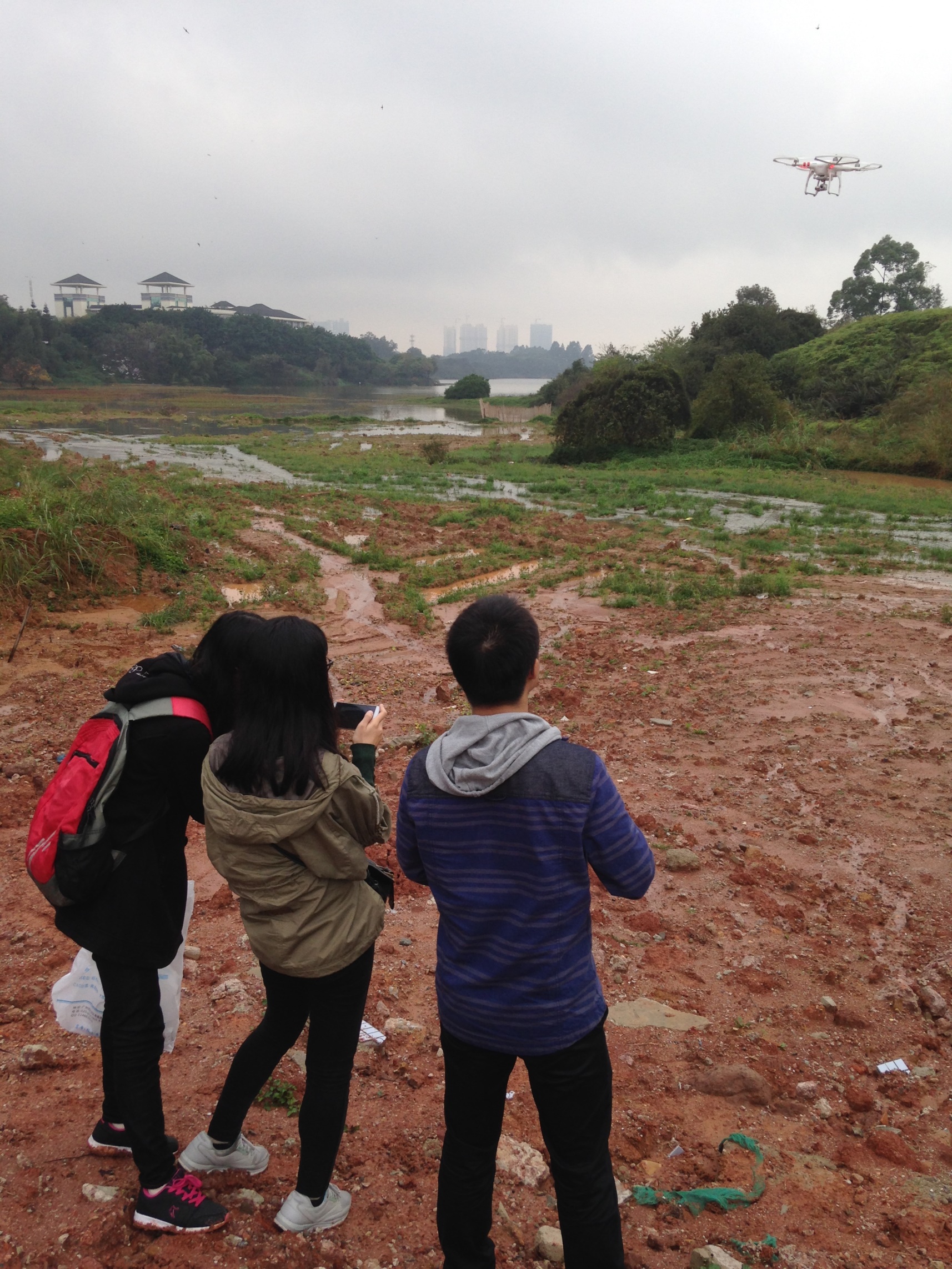
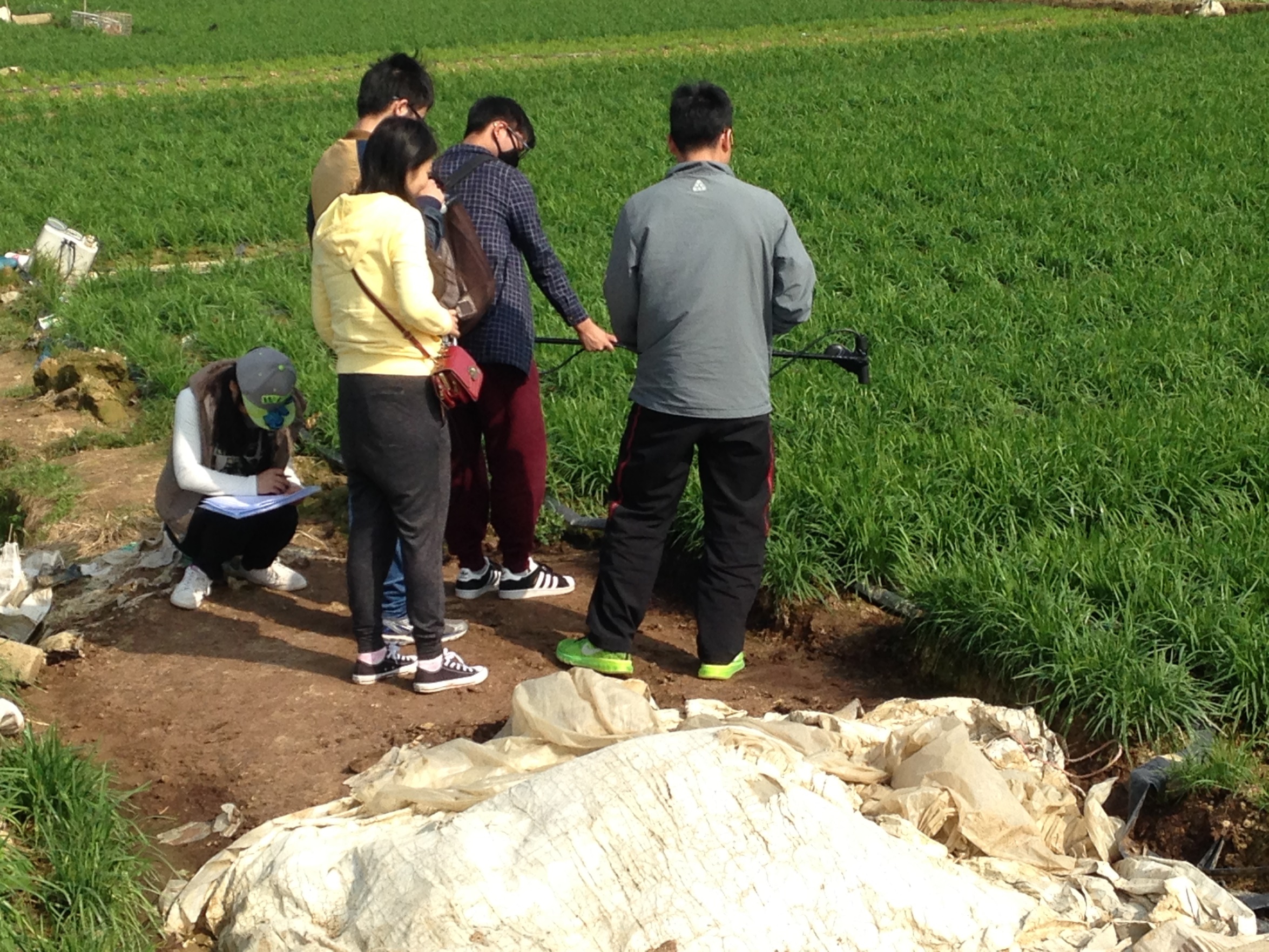
The field work aimed to obtain up-to-date 'ground truth' data on all LULC types in PRD, and to verify the accuracy of LULC maps that were derived from satellite imagery, especially on urban impervious surfaces in PRD. Daily field logs were designed to record observed LULC current states and to note possible evolution trends by integrating the data collected by an unmanned aerial vehicle, a Spectra Vista spectroradiometer, and GPS-GIS-photos links.
In the field work, random samples along each transect were investigated in the cities of Guangzhou, Foshan, Panyu, Nansha, Zengcheng, Huizhou and Shenzhen in the PRD region. A total of 140 randomly sampled sites of 60 m by 60 m were surveyed. The field survey collected information on surface cover conditions, including: (1) building numbers, dimensions, density, construction materials, roof materials, street canyon orientation; (2) tree cover dimensions, density, species, grass, and shrubs; (3) types and nature of impervious coverage (such as roads, driveways, parking lots) and its aging conditions; (4) open water (such as lakes, rivers, ponds); and (5) soils and bare ground.
Prof. Hui Lin, the director of ISEIS, is satisfied with the findings. 'The field work has collected up-to-date information on the LULC over the PRD metropolis region, which will provide valuable data sources for remote sensing image analysis and for examining coastal urbanization and consequential environmental changes over a deltaic environment.'
The field work was mainly supported by the Research Grants Council of Hong Kong under the project 'Improving the estimation of impervious surfaces using optical and polarimetric SAR data in humid subtropical urban areas'. It was also supported by the National Natural Science Foundation of China and the Ministry of Science and Technology of China. In addition, this field work was also part of the efforts by the Group on Earth Observations (GEO) Global Urban Observation and Information Initiative (GI-17) team for an international collaborative project of 'Impervious Surface Mapping in Tropical and Subtropical Cities – ISMiTSC'.

Members of the research team from the four universities.

Field data collection by a UAV system.

Collection of spectral reflectance on farmland using a Spectra Vista spectroradiometer.

Monograph published by the research team in 2015